

Border tour
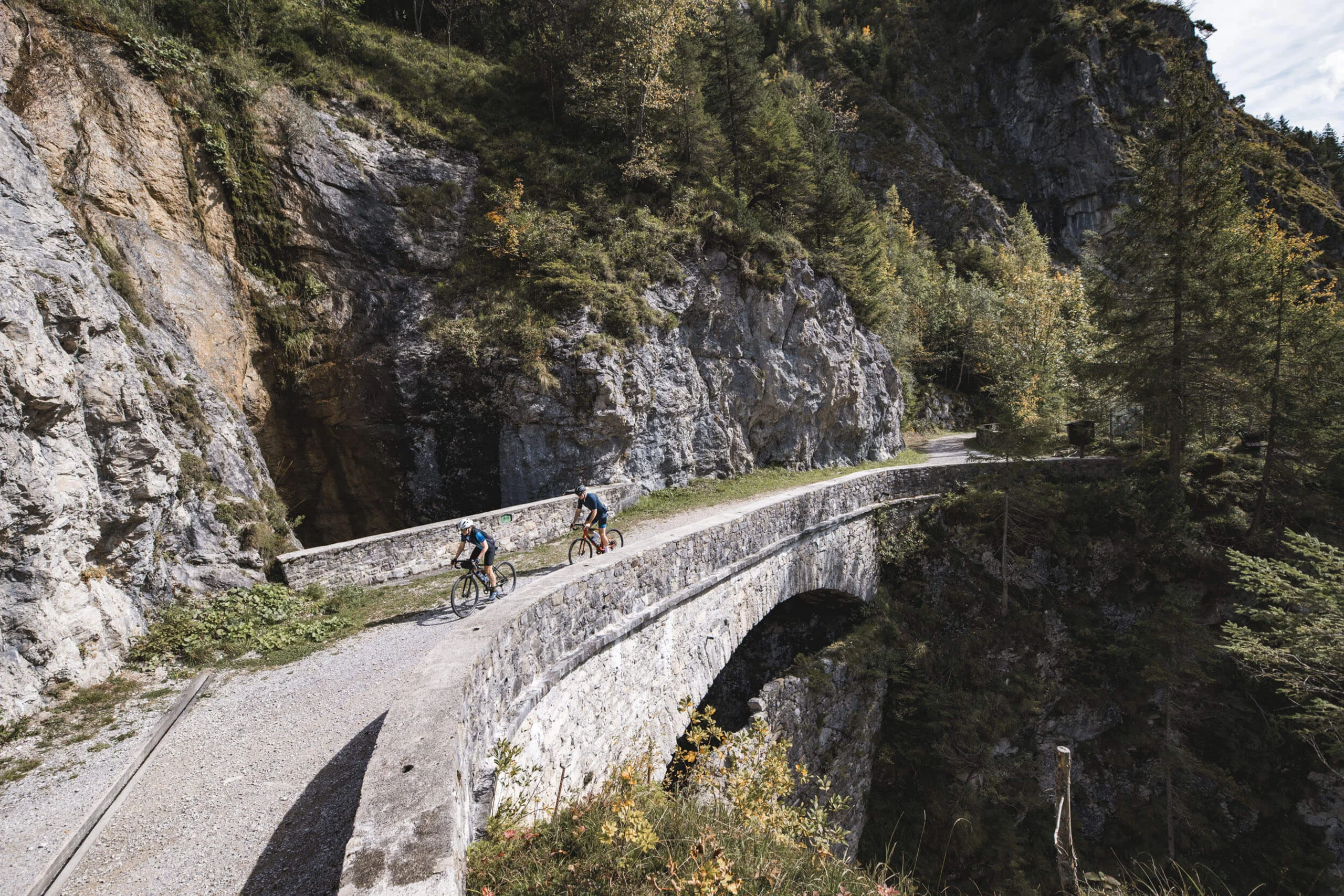
This challenging gravel tour leads over 64.1 kilometres through the Tannheimer Tal and surrounding mountain regions. The route offers a varied mix of forest paths, panoramic trails and high-altitude passages with fantastic views of the Allgäu and the Alps. Highlights include the tranquil mountain pastures near Unterjoch, the Grüntenblick and the impressive Ostrach waterfall. Refreshments and a refreshing stop at the fish pond are available on the way back. The starting and finishing point is the Bogner Hof - ideal for cycling holidaymakers with top facilities and a wellness area.
Plan & navigate your gravel bike route with Komoot
On Komoot, you can view the full route on the map and check the elevation profile, plan your gravel bike ride in more detail, and use navigation while you’re out riding. You can also save the route for your personal tour planning and use or export it as a GPX file for compatible GPS devices and apps.