Villacher Alpe
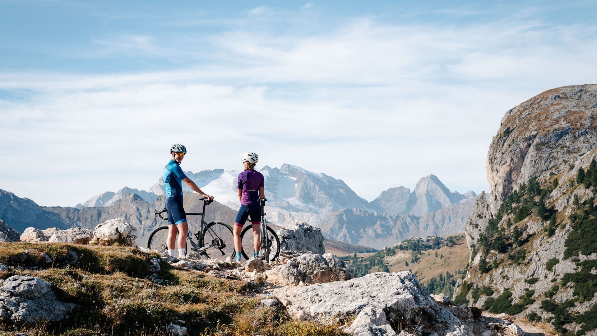
From Mühlbach, the route leads through the Rosental valley to Villach. the Villach Alpine Road measures 16.5 kilometres from Villach-Möltschach (550 m) to the Dobratsch (Rosstratte 1,732 m), but not quite all the way to the summit (2,167 m). Because it has to be conquered on foot. Along the road, there are always magnificent views of Villach, the Karawanken, the Julian Alps and the largest landslide area in the Eastern Alps on the southern flank of the Dobratsch.
Your tour details on Komoot
Length, altitude, duration and difficulty - find all the key details and important information in the tour description on Komoot.


