

Schwarzleotal Tour
Difficulty
Medium
Duration
3:19 hr./hrs.
Distance
26.8 km
Start and finish location
Biohotel Rupertus ****
Uphill
960 m
Downhill
960 m
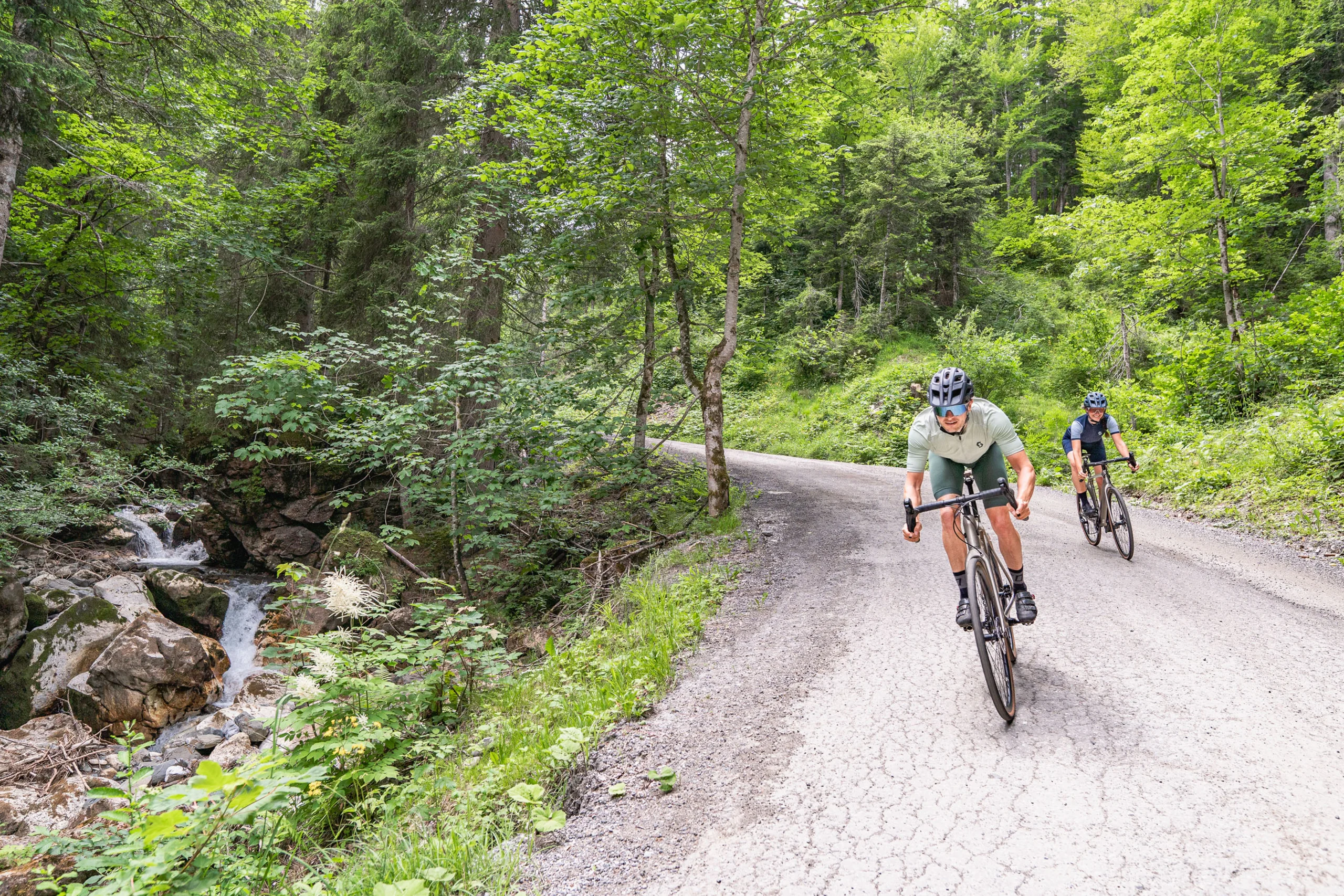
The 26.8 kilometre route with an elevation gain of 960 metres is a challenging tour that requires a very good level of fitness. The route leads through the Schwarzleotal valley and offers varied sections with moderate climbs and short recovery phases.
Technically, the tour is easy to master as the surface is mostly easy to ride on. This tour is ideal for gravel bikers looking for a short but challenging tour with a clear mountain backdrop.
Plan & navigate your gravel bike route with Komoot
On Komoot, you can view the full route on the map and check the elevation profile, plan your gravel bike ride in more detail, and use navigation while you’re out riding. You can also save the route for your personal tour planning and use or export it as a GPX file for compatible GPS devices and apps.